

Archived Content
This blog was published more than three years ago and is considered archived. It is not actively updated and may not reflect current policies or practices. However, some of the content may still be useful.
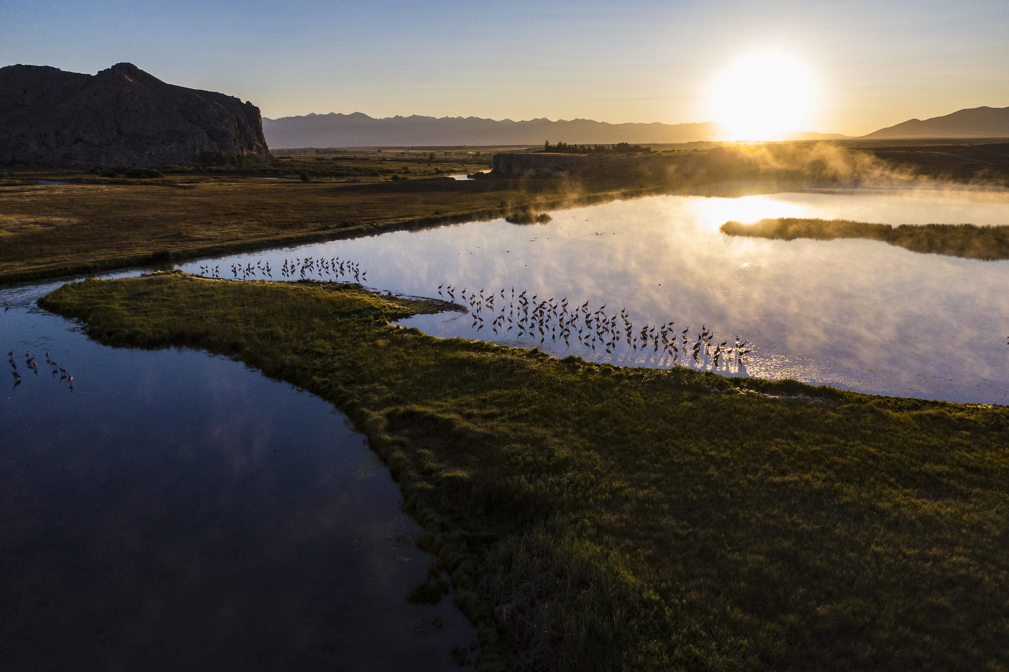
Water supply forecasts are important for any crop year. But for farmers, ranchers, foresters, and water managers in the West facing extreme and debilitating drought conditions, those forecasts have never been more critical to their operations and livelihoods.
Since the Dust Bowl of the 1930s, NRCS has helped America’s producers plan for their operations through the Snow Survey and Water Supply Forecast program. The program runs a massive network of monitoring sites across the western U.S. called SNOTEL. This is coupled with other data and computer models to predict the amount of river runoff in the upcoming spring and summer. These water supply forecasts are used by America’s producers to plan their operations for the year, by helping guide choices like crop selection, water rights rentals, and whether to leave land fallow.
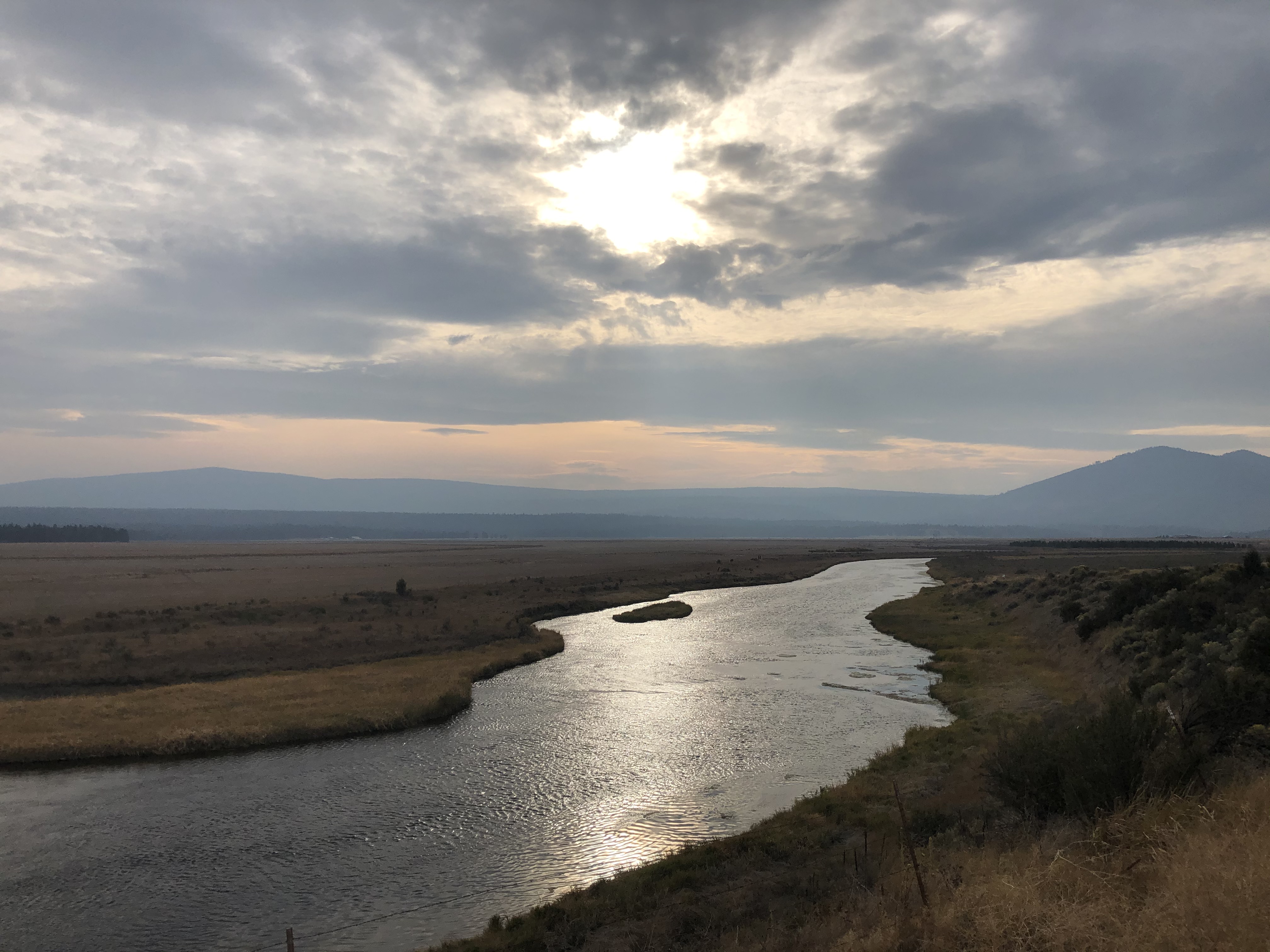
Over the decades, that information has grown to be used by many other groups for many purposes – from optimizing hydroelectric power generation, to assessing seasonal flood risk, to complying with legal decisions around endangered species and international treaties governing transboundary rivers. The value of water managed using these forecasts is easily in the billions of dollars, and even modest increases in accuracy can create over $100 million a year in public benefit for just one river basin.
However, major forecasting improvements are needed because of narrowing margins between water supply and water demand in the ever-more-thirsty American West. Those tighter margins mean there’s less room for error than ever before in water management, requiring improved efficiency and accuracy in everything we do.
Today, NRCS has unveiled a new computer application to address this pressing need: the multi-model machine learning metasystem, or M4. This first-of-its-kind model will be the largest migration of artificial intelligence, also known as AI, into real-world river prediction programs.
Researchers first experimented with machine learning, a branch of AI, for hydrologic forecasting a quarter-century ago. But they couldn’t jump the research-to-applications gap – the needed step of getting from what works in the lab to what works in the field. Ironically, scientists and engineers working outside the tech sector have often been the last to adopt AI into their everyday practices. Unlike some other areas, STEM fields have long used sophisticated math and computer models. AI had to successfully compete with those existing methods to gain widespread acceptance, which in many fields, including earth and environmental science, is only starting to happen now. The average hydrologist is still more likely to use AI – in a smartphone app, for example – to find the quickest route to the office in the morning, than to apply it in their work when they get there!
We aimed to change that. Applied scientists at NRCS took a pragmatic approach: they looked in detail at what they needed in the next generation of their operational river forecast system, and then created a new tailor-made solution from existing building blocks. That included adopting automated machine learning, which makes it easier and faster to use, and radically improving the explainability of the results, putting to bed a long-standing worry about so-called ‘black box’ AI technologies. Testing proves the system is more accurate, robust, and simple-to-use than ever before, while keeping features that worked in the older models.
Our hope is that M4 will help farmers, ranchers, and foresters – our customers – better plan for their operations and continue to have the means to provide for people in the U.S. and around the world who depend on American agriculture. And given how many other water users and government agencies also rely on NRCS forecasts, we’re also looking forward to seeing how the migration of AI into real-world, high-stakes environmental information systems like M4 will help everyone in the American West use increasingly pressured water resources more effectively while protecting our shared natural environment.
To read more about this new system, see the recent paper published in the Journal of Hydrology, the top-ranked, peer-reviewed scientific journal in water resources.
For more information about our Snow Survey and Water Supply program, visit our website.
Dr. Sean W. Fleming works for NRCS in Portland, Oregon.
 Loans and Grants
 Disaster Planning and Assistance
 Conservation
 Ag Business
 Farm Life